According to the specialist, the epicenter of the storm passing through Europe will not reach Lithuania, unless it slightly disturbs the western edge of the country. However, mixed precipitation, snow and strong winds will not be avoided.
“Indeed, as one cyclone moves further to the northeast, another cyclone approaches from the west.” This area of low pressure will bring really heavy mixed precipitation. For example, tomorrow there will be intermittent rain, in some places – drizzle, it is most likely that the wind will strengthen in the western regions”, said the forecaster.
According to him, wind gusts will reach 9-14 meters per second in many areas on Tuesday, and 15-17 m/s on the coast. At that time, the temperature will be similar to the last few days.
However, we can get some “fun” on Wednesday night.
“However, the wind will pick up more in the middle of the week, so wind gusts can reach up to 20 m/s, and it is also likely that overnight precipitation – snow, sleet, and sleet will change to rain during the night from Tuesday to Wednesday.” During the night, those precipitations can be heavy – more than 15 millimeters will fall”, said V. Patašius.
“As it cools down, it is likely to be cloudy on Wednesday morning and temperatures will remain somewhat similar, ranging from 1 degree to 3 degrees at night and 3 to 8 degrees during the day,” he added.
Travelers should prepare
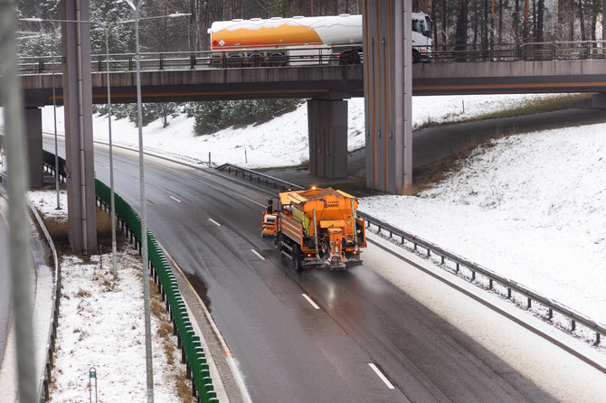
According to the specialist, road users should prepare now, as traffic conditions may be particularly bad after snow falls.
“Indeed. Those winter precipitations and their amount will fall more heavily in places, so you should definitely prepare. It is likely that they are already preparing by looking at our forecasts, because the driving conditions will certainly be more difficult”, emphasized V. Patašius.
According to him, the snow will first appear in the southwestern districts on Tuesday. It will be around 8-9pm. Then the snow will spread over the whole of Lithuania, so when you wake up on Wednesday morning, you will be able to see the white ground through the window, but the snow cover will not really light up.
“It will definitely be possible to see, but it will definitely not last long,” assured the representative of the Lithuanian Hydrometeorological Service.
At the same time, he warned people that stronger winds will prevail in the coming days.
“In many districts, it can reach 15-20 m/s, in the western areas – maybe more, but certainly – on Wednesday and Thursday, it is likely that this dangerous wind will prevail in the country”, V. Patašius said.
According to him, the stronger wind should subside on Friday and Saturday.
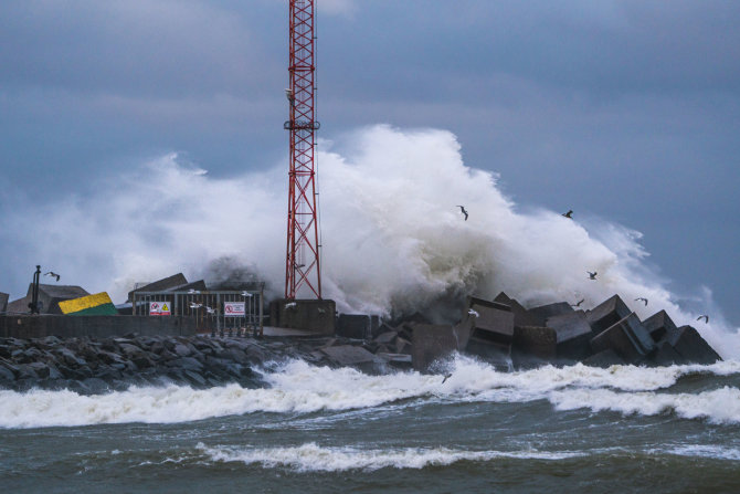
The highest amount of precipitation and the strongest winds are predicted in Western Lithuania.
 on Tuesday, wind gusts on the coast will reach up to 15-17 m/s;
 on Wednesday – gusts up to 15-18 m/s in places;
 on Thursday – gusts up to 15-20 m/s in places;
 on Friday – gusts up to 15-18 m/s in places;
 on Saturday – gusts up to 15-18 m/s on the coast.
The latest ECMWF weather model estimates show that the first half of the week will be very wet. Up to 25-70mm is expected to fall in western areas by Friday evening, while the rest of the country will be drier with 15-25mm.
Source: www.15min.lt


